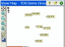
LISCAD is a portfolio of integrated land surveying and civil engineering modules. The program provides full geodetic coordinate geometry computations based on a selected map projection can be performed using the Computations module to create, edit and examine points, lines, polygons, text and alignments.
It allows you to test an environment based on the Ranger Data Collector device.

It enables you to configure communication addresses for Kamstrup devices.


Comments (1)